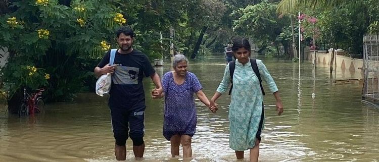
Bangalore has been facing constant flooding over the last few days with a massive impact in the South Eastern locations of Whitefield, Bellandur, Outer Ring Road and Sarjapur Road. Home owners and wading in waist deep water in their bedrooms, their vehicles submerged and a few even losing their lives.
(Check out the havoc here: https://www.youtube.com/watch?v=d2E5dl8KOMw)
So what exactly is happening?
Bangalore is famous for its lakes and had close to 260 lakes in the 1960s. Currently there are only 80 Lakes left due to the rapid encroachment and development activities. Most of these lakes were man-made and protected by the Rulers of Bangalore over many centuries. They were interconnected through large storm water drains known as Kaluves. These Drains ensured that the excess waters from lakes at higher elevation were drained to lakes at lower elevation. This was mainly done to control Flood situations and also for water conservations. (http://bengaluru.urbanwaters.in/lakes-89/).
Many of these lake beds have been filled and used for development over the years with everyone turning a convenient blind eye to the same. The sewage generated from these developments and surrounding areas have also created massive blockages to the free flow of water. So, the capacity of these lakes and drains to store and carry water was severely impacted.
Also as per the FSI ( Floor space index – If you have 10,000 sqft of land, and FSI of 3, you can build 30,000 sqft) norms, many of the developments along the main corridor got an FSI of 3 – 3.25 times the land area. When you combine this with the height restrictions of HAL Airport and the Basement parking requirement, it resulted in Developers having tomaximise basement footprints and ground coverages.

The more the ground coverage, the lesser the natural Earth. Or in simple terms, concretization of the land. So when it rains, the water has no natural earth to drain into and start flooding the storm water drains. The capacity of the storm water drains is to cater to the demand of the particular project and not of all the water flowing from neighbouring locations. This causes the waters to flood into the low-lying areas on the banks of the Storm water drains and Lakes.
BDA in its RMP 2015 had clearly marked out Valley zones and buffer zones around lakes and natural drains. The drains were classified into Primary, Secondary and Tertiary. The Valley or sensitive zones were marked to indicate that in case of flooding, these are the areas which get flooded first. However, given how the Indian system works, concessions were given to develop in these sensitive zones over the years. Also a lot of developments sprung up on the buffer zones of these lakes and drains with no regard to the rules. You don’t have to imagine the consequences, as you can actually see the flooding taking place in all these locations today.
RMP 2015 – Sensitive zone between Bellandur and Varthur lake
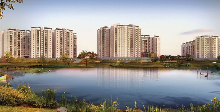
Development in the sensitive zone of Bellandur - Varthur
So who is it blame for all this?
The Government who sanctioned the plans without creating the required infrastructure?
The Developers who developed these projects?
The IT companies who occupied these offices despite strong Corporate Governance rules?
Irrespective of whom you blame, the victim is always the same,
The Common Home Buyer.


